Sage Patterson · 11 October 2026
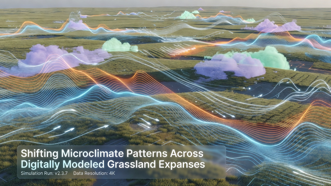
Shifting Microclimate Patterns Across Digitally Modeled Grassland Expanses
Digital modeling techniques now track microclimate variations across vast grassland regions with increasing precision, and researchers combine satellite data, ground sensors, and computational simulations to map these changes in real time. Grassland expanses present unique challenges because their open structures allow rapid shifts in temperature, moisture, and wind patterns that larger climate models often overlook at finer scales.
Core Components of Digital Grassland Models
Modelers integrate soil moisture readings, vegetation indices, and atmospheric boundary layer data into unified frameworks that simulate daily and seasonal fluctuations, while high-resolution grids capture localized effects such as dew formation or heat pockets near low-lying areas. These systems draw from long-term observational networks that span multiple continents, and updates occur regularly to incorporate new sensor deployments or refined algorithms.
One approach relies on coupled land-atmosphere modules that solve energy balance equations across thousands of grid cells, and another layer adds stochastic elements to represent unpredictable gusts or cloud movements that influence surface conditions. Observers note that such layered architectures improve accuracy when compared against field measurements collected during peak growing seasons.
Observed Shifts in Temperature and Humidity Gradients
Recent outputs from these models reveal altered diurnal temperature ranges across modeled prairies, with nighttime minima rising faster in certain zones than daytime maxima, and humidity levels fluctuate more sharply near transition areas where grasslands meet shrub patches. Data collected through 2025 shows these patterns appearing consistently in simulations calibrated to North American and Eurasian sites alike.
Researchers adjust parameters to account for changing precipitation timing, which in turn affects evapotranspiration rates and creates feedback loops that models must resolve iteratively. Figures from ongoing projects indicate that microclimate boundaries have moved several hundred meters in some simulated landscapes over the past decade, and these displacements align with independent records from weather stations embedded in actual field sites.
Integration of Remote Sensing and Ground Validation
Satellite platforms supply broad-scale inputs such as normalized difference vegetation index values and surface temperature retrievals, while drone surveys and stationary towers provide the high-frequency data needed to validate finer details within each grid cell. Teams cross-reference these streams to reduce discrepancies, and iterative calibration runs continue until model outputs fall within acceptable error margins against measured conditions.
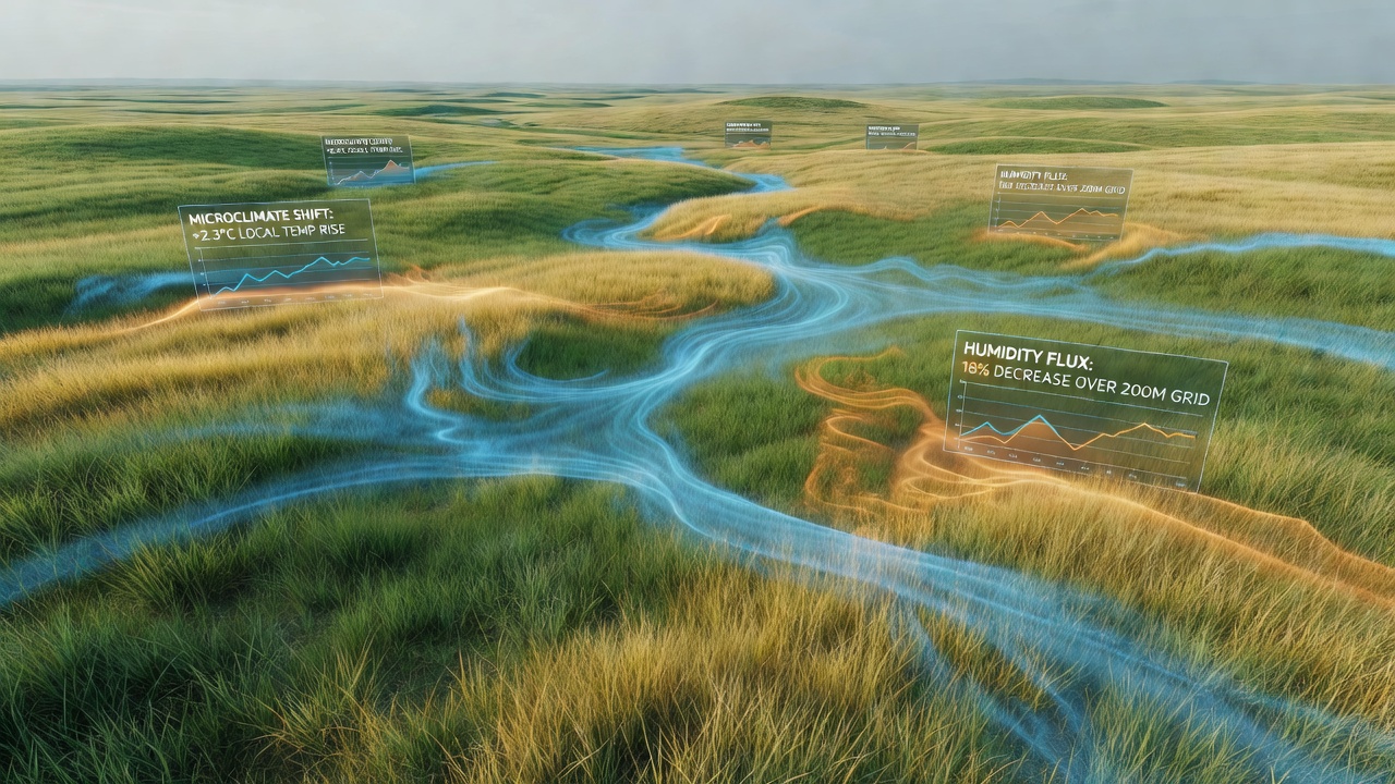
Additional layers incorporate historical climate archives that extend back several decades, allowing modelers to test whether current microclimate configurations represent departures from earlier baselines or simply natural variability expressed at higher resolution. Such comparisons help isolate anthropogenic influences from cyclical events like multi-year drought periods.
Regional Case Examples and Data Trends
In North American simulations, mid-summer heat stress zones have expanded slightly toward higher latitudes within modeled corridors, whereas Eurasian runs show increased frequency of brief but intense humidity spikes following convective storms. Australian Bureau of Meteorology datasets feed into parallel modeling efforts that track similar dynamics across temperate grassland belts in that region, and cross-regional comparisons highlight both shared trends and site-specific deviations.
Canadian modeling groups contribute additional runs focused on boreal transition zones, where permafrost thaw begins to interact with grassland microclimates, and these efforts link to broader North American networks without duplicating existing work. Projections generated ahead of October 2026 incorporate the latest ensemble outputs from multiple institutions to refine estimates of future boundary shifts.
Applications in Land Management Planning
Land managers access model outputs through interactive dashboards that display probable microclimate scenarios under different vegetation management options, and these tools support decisions about grazing rotations or restoration plantings by quantifying expected changes in local temperature buffering. Outputs also inform infrastructure placement, such as windbreak alignments or water retention features, because the simulations capture how such interventions alter surrounding airflow and moisture retention.
Academic groups publish supplementary analyses that test model sensitivity to parameter changes, and these studies often appear in specialized journals focused on environmental modeling. The collective body of work continues to expand as computing resources allow higher spatial and temporal resolutions without prohibitive increases in processing time.
Conclusion
Digital representations of grassland microclimates now support detailed examination of shifting patterns that were previously difficult to isolate at scale, and ongoing refinements incorporate new observations while maintaining consistency across regional datasets. Continued collaboration among modeling centers, sensor networks, and land management agencies sustains the development of these tools, and results feed into planning processes that address both current conditions and anticipated changes through the remainder of the decade.